|
|
Sponsored Content
Top Forums
Web Development
Notes with Ravinder on Badging System Development Part II
Post 303028212 by Neo on Wednesday 2nd of January 2019 07:03:52 AM

|
|
3 More Discussions You Might Find Interesting
1. What is on Your Mind?
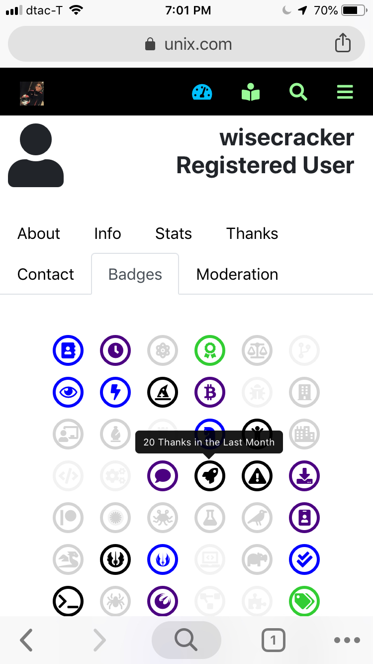
Today I mapped out the new badging system using FA icons, Beta 1 in no particular order except a 6 x 8 grid:
https://www.unix.com/members/1-albums215-picture991.png
The prototype HTML code for this layout:
<style>
.fa-badge-grid {
font-size: 1.5em;
}
.row {
... (38 Replies)
Discussion started by: Neo
38 Replies
2. What is on Your Mind?
Dear All,
Here is the current status of the badging system:
The Beta 1 phase of the new badging system is close to completion.
42 prototype badges have been "allocated"
6 prototype badge slots are held in reserve
The "alert you have new badges" prototype is running and is currently... (4 Replies)
Discussion started by: Neo
4 Replies
3. What is on Your Mind?
I have moved the bug badge out of reserve and into the main stream. Basically, I will assign a color level like the others, based on who has made a good actionable bug report for UNIX.COM. "Good" means screenshots, links, and even details from web dev tools our the HTML source code. So far,... (0 Replies)
Discussion started by: Neo
0 Replies
LEARN ABOUT DEBIAN
mobile-atlas-creator
MOBILE-ATLAS-CREAT(1)					  mobile-atlas-creator User Manu				     MOBILE-ATLAS-CREAT(1)

NAME

       mobile-atlas-creator - program to create atlas archive for mobile devices

SYNOPSIS

       mobile-atlas-creator

DESCRIPTION

       This manual page documents briefly the mobile-atlas-creator command.

       This manual page was written for the Debian distribution because the original program does not have a manual page.

       mobile-atlas-creator (formerly known as TrekBuddy Atlas Creator) is an open source (GPL) program which creates offline atlases for GPS
       handhelds and cell phone applications like TrekBuddy, AndNav and other Android and WindowsCE based applications. For the full list of
       supported applications please see the features section. Additionally individual maps can be exported as one large PNG image with
       calibration MAP file for OziExplorer. As source for an offline atlas Mobile Atlas Creator can use a large number of different online maps
       such as OpenStreetMap, Google Maps, Microsoft/Bing Maps, Yahoo Maps and many more online map providers.

OPTIONS

       The program does not have any options.

AUTHOR

       Ying-Chun Liu <paulliu@debian.org>
	   Wrote this manpage for the Debian system.

COPYRIGHT

       Copyright (C) 2010 Ying-Chun Liu (PaulLiu)

       This manual page was written for the Debian system (and may be used by others).

       Permission is granted to copy, distribute and/or modify this document under the terms of the GNU General Public License, Version 2 or (at
       your option) any later version published by the Free Software Foundation.

       On Debian systems, the complete text of the GNU General Public License can be found in /usr/share/common-licenses/GPL.

mobile-atlas-creator						    06/05/2012						     MOBILE-ATLAS-CREAT(1)